
Boundary Surveys
★
Land Title Surveys
★
Farm and Ranch Surveys
★
Oil and Gas Surveys
★
Engineering Design Surveys
★
Consulting & Land Planning
★
Boundary Surveys ★ Land Title Surveys ★ Farm and Ranch Surveys ★ Oil and Gas Surveys ★ Engineering Design Surveys ★ Consulting & Land Planning ★

Dependability . Integrity . Quality
Services Offered:

Boundary Surveys:
A standard boundary survey is performed to determine and document the exact location of a property’s boundary lines. Using recorded deeds, plats, and physical evidence found in the field, a licensed surveyor identifies property corners and establishes boundary lines in accordance with applicable state standards.
This type of survey is commonly used to locate property improvements, fencing, and for resolving boundary questions. The final deliverable typically includes a survey drawing showing boundary dimensions, corner locations, physical improvements, and any visible encroachments or conflicts affecting the property. (Generally not used for land transactions, although it can be under certain circumstances.)

Land “Title” Surveys:
A land title survey is a boundary survey that also incorporates the review of a title commitment. In addition to establishing the location of boundary lines, this survey addresses easements, rights-of-way, exceptions, etc. as disclosed in the title documents. (Generally used for land transaction closings, although not exclusively.)
Commercial Property Surveys, Industrial Property Surveys, and Farm & Ranch Surveys often fall in this category as well.
ALTA/NSPS Surveys:
An ALTA/NSPS Land Title Survey is a comprehensive boundary survey conducted to national standards established by the American Land Title Association (ALTA) and the National Society of Professional Surveyors (NSPS). It is often required for commercial real estate transactions and provides a detailed depiction of property boundaries, improvements, easements, rights-of-way, and other matters that may affect title.
This type of survey is performed in conjunction with a title commitment and is designed to meet the needs of lenders, title companies, and buyers by identifying potential risks, encroachments, and discrepancies before closing.
Please fill out an ALTA Standards “Table A” if you are requesting an ALTA quote. “TABLE A” link: ALTA Standards
Commercial Surveys, Industrial Surveys & Feasibility Surveys often fall under this category.
City & Jurisdictional Platting:
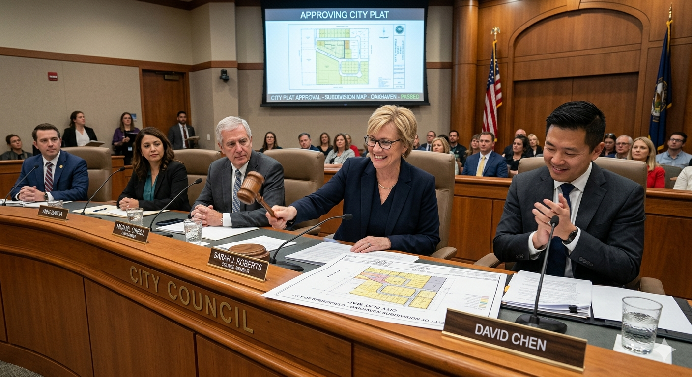
City or jurisdictional platting is the process of dividing or reconfiguring land into lots, blocks, or tracts in accordance with local government regulations. This process involves preparing a plat, a detailed map of the property, that goes through a review process for approval by the governing municipality or county before being officially recorded.
It is not always required when dividing land, exceptions vary. Confirm with your local jurisdiction.
See FAQs for further platting details.
Engineering Design Surveys:
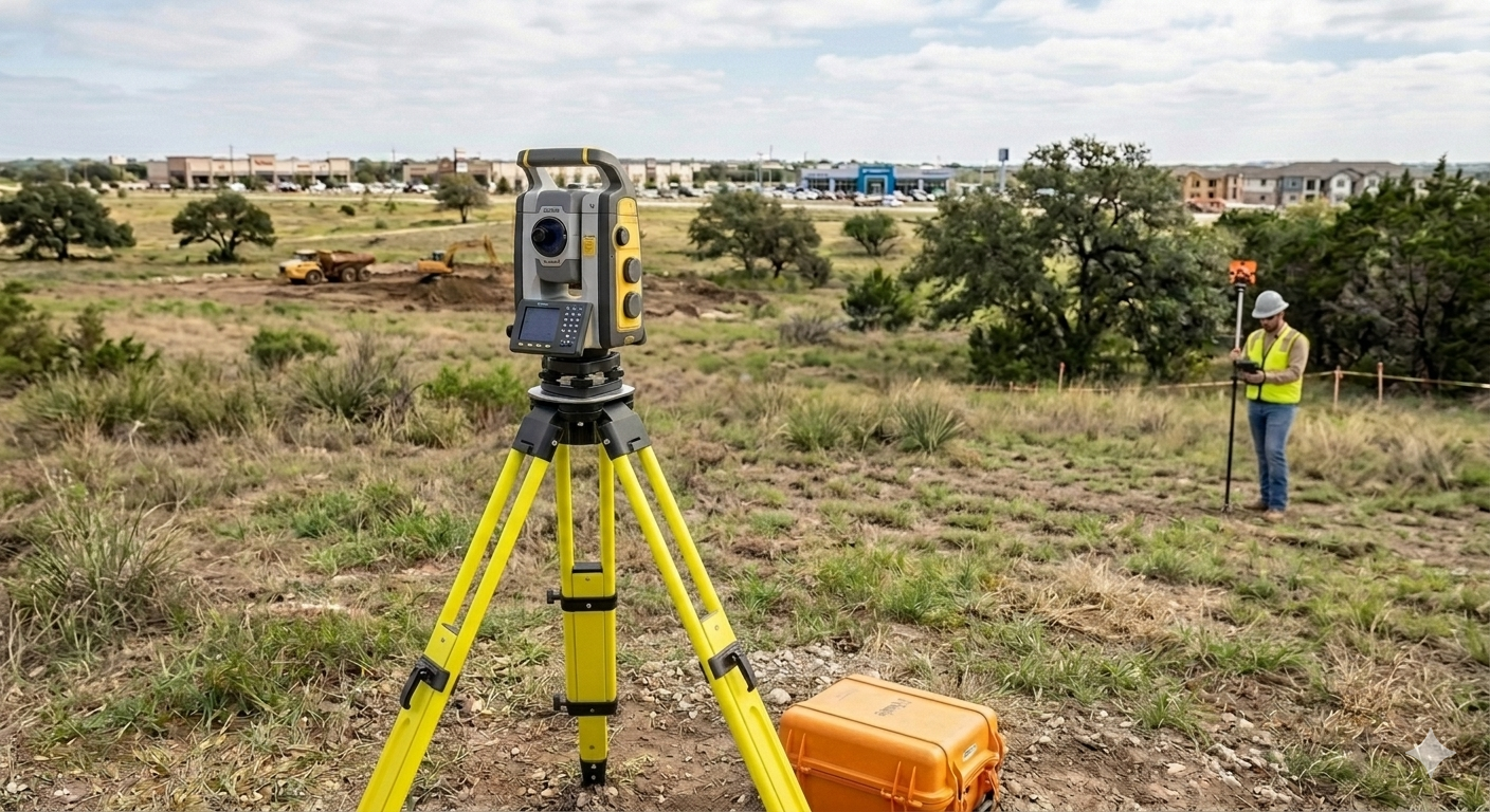
Engineering design surveys provide the detailed topographic and site data needed to support planning and design for construction and infrastructure projects. These surveys document existing conditions such as elevations, contours, utilities, structures, drainage features, easements and improvements on the property. Engineers rely on this information to develop accurate designs, ensure proper drainage and grading, and coordinate with existing site conditions.
Feasibility Surveys, Topographical Surveys, and Tree Surveys are similar but may add or remove elements.
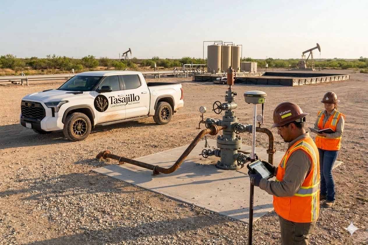
Upstream Surface Work
Surface Use or Well Pad Plats
Road & Utility Easements
Pipeline Easements
Line Staking
Conductors Reports
TxDOT Permit Exhibits
As-Built Surveys
Oil & Gas Surveys:
Upstream Subsurface Work
Unit and Lease Plats
Lateral Design Assistance
RRC Permit Plats
As-Drilled Precheck Plats
As-Completed Plats
Fast Mobilizations
On Time Deliverables
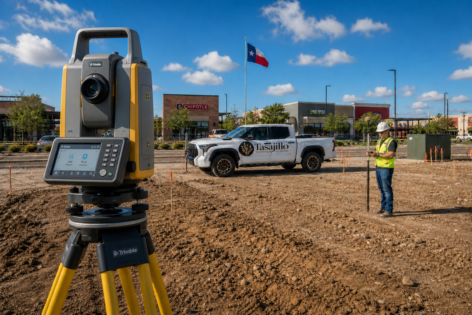
Construction Services:
High Integrity Site Layout
Benchmarks
Control Points
As-Built Verifications
Quick Mobilization Times
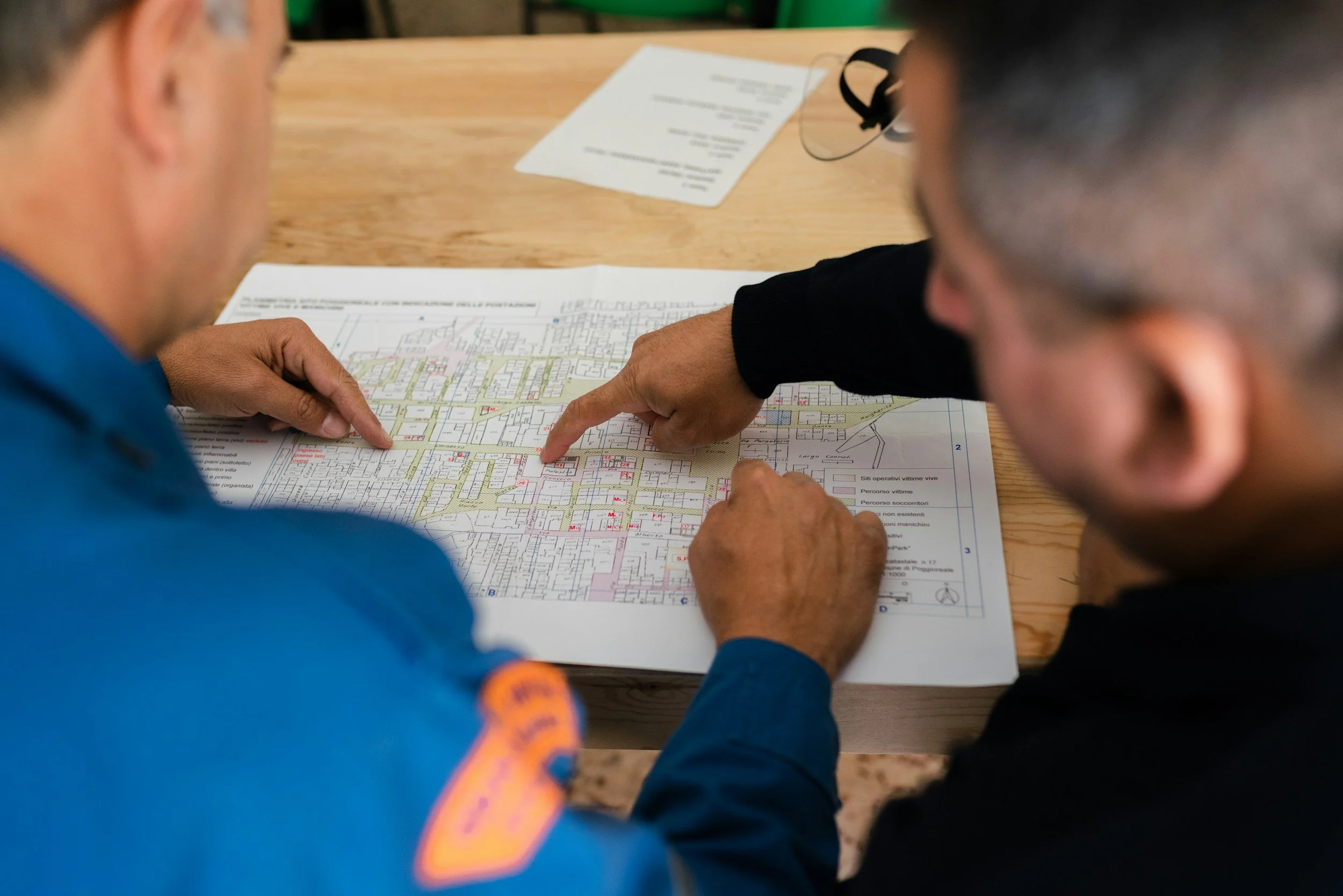
Consulting:
Subdivisions
Platting
Cut-outs & Divisions
Estate Partitions
Floodplains/FEMA
Start with clarity.
Finish with confidence.
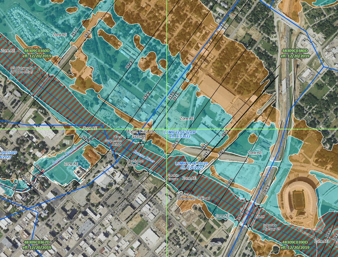
Elevation Certificates and FEMA Floodplains:
Floodplain determinations play an important role in land development and ownership decisions. We provide survey services related to FEMA floodplain mapping, including Elevation Certificates to document structure elevations for insurance and permitting purposes. When supported by survey data, we can assist property owners in preparing documentation for Letters of Map Amendment (LOMA) requests. All floodplain determinations are subject to FEMA review and approval, and we recommend coordinating with the appropriate regulatory and insurance professionals as needed. Floodplain boundaries and mapping are established by FEMA, we do not guarantee the accuracy or completeness of FEMA floodplain maps and information.
Our services include Elevation Certificates, LOMA Submission, Floodplain Staking, Base Flood Elevation Benchmarks/Staking, and Floodplains shown on any Survey as requested.